|
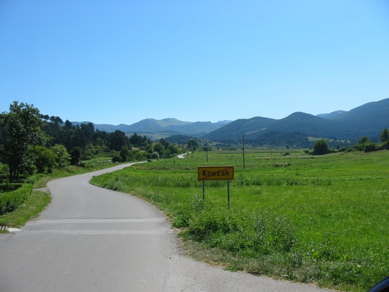
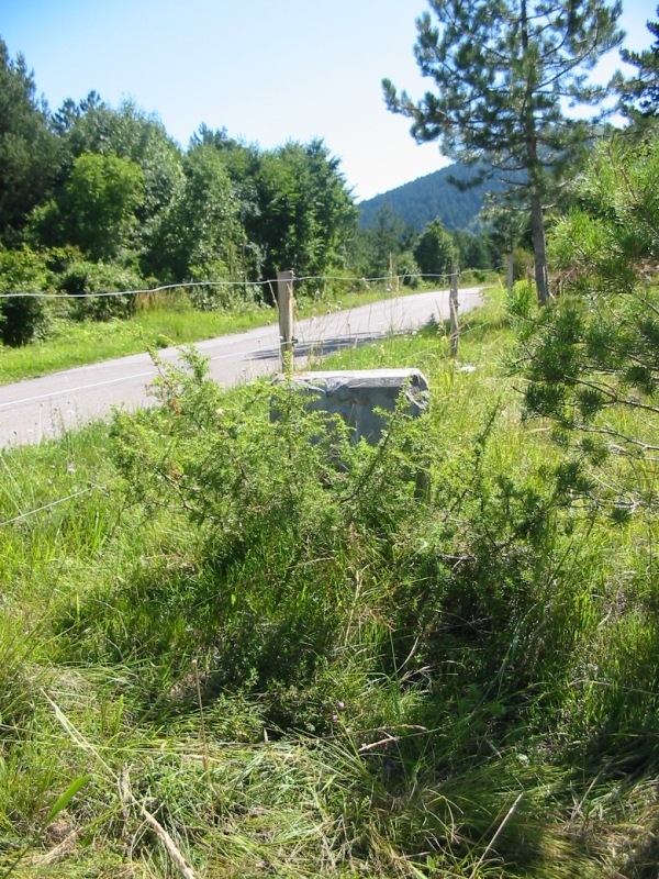
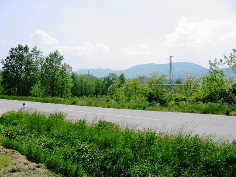
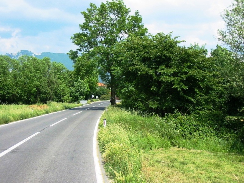
 La strada da Coritenza verso Massun; la foto mostra l’ultimo tratto di strada prima della pietra miliare del km 7. La strada da Coritenza verso Massun; la foto mostra l’ultimo tratto di strada prima della pietra miliare del km 7.
 The road from Coritenza towards Massun; the image shows the last stretch of road before the milestone of km 7. The road from Coritenza towards Massun; the image shows the last stretch of road before the milestone of km 7.
|
|
|
|
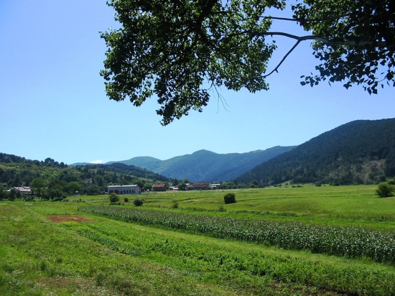
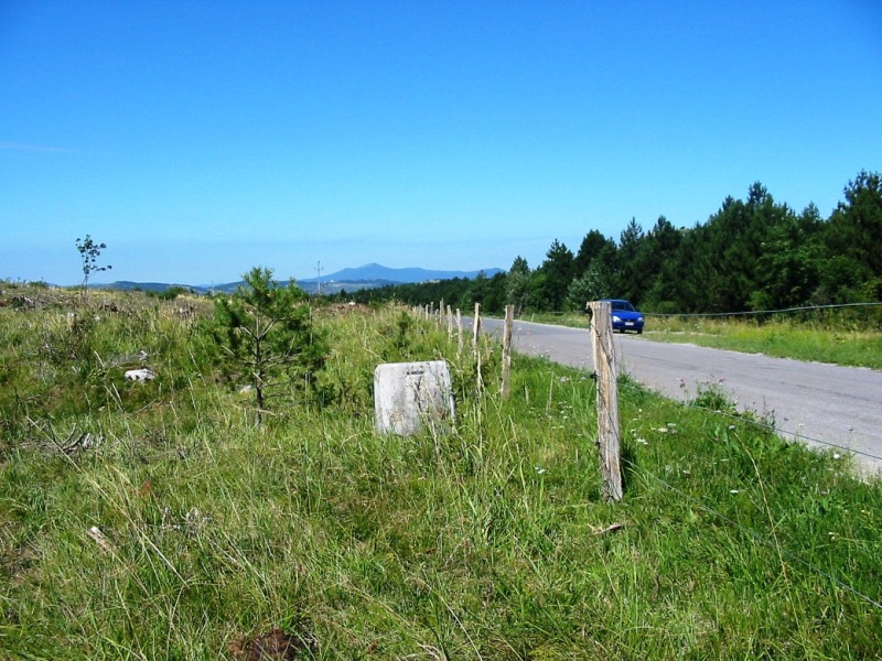
La pietra miliare del km 7 (foto presa verso est, nella direzione di avanzata dei carri armati del “San Giusto”).
The km 7 milestone (photo taken looking eastwards, in the direction of advance of the “San Giusto” tanks).
|
|
|
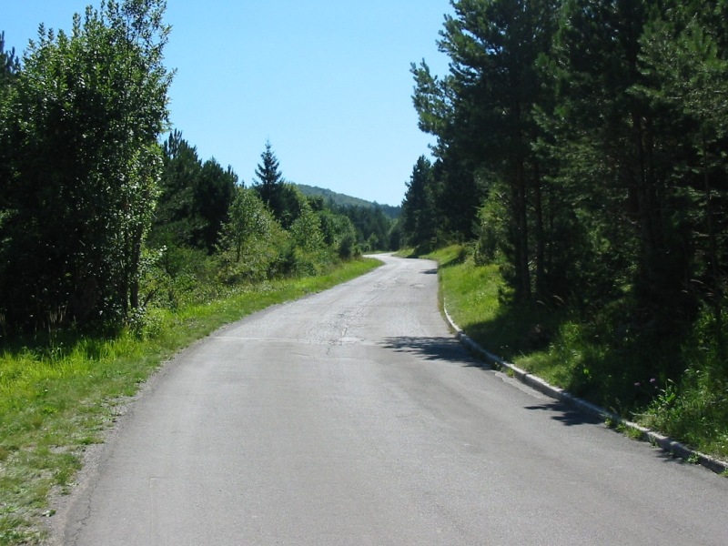
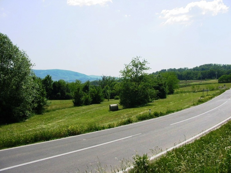
La pietra miliare del km 7 (foto presa verso ovest, nella direzione di provenienza dei carri armati del “San Giusto”).
The km 7 milestone (photo taken looking westwards, in the direction from where the “San Giusto” tanks were coming). |
|
|
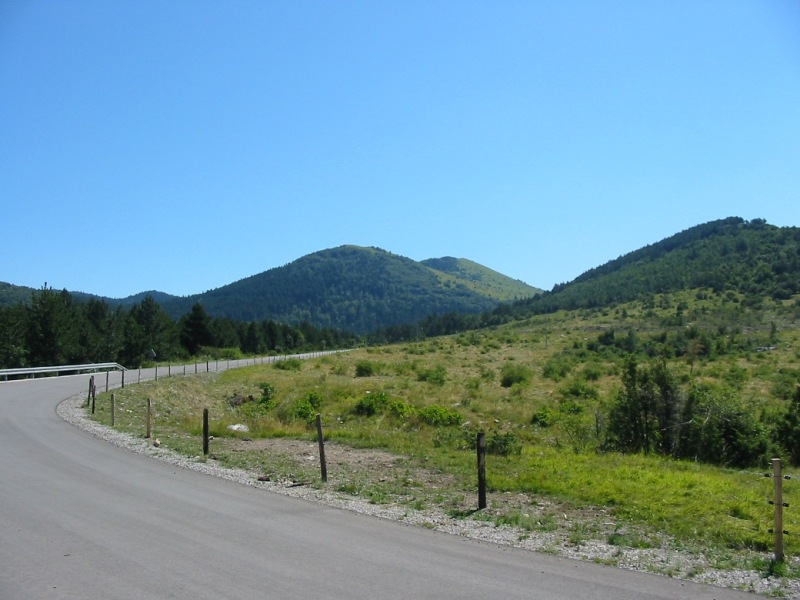
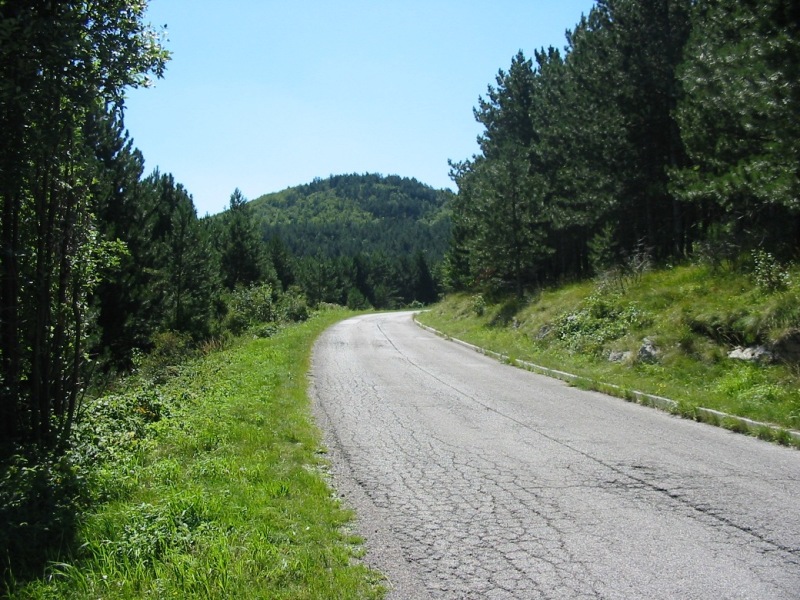
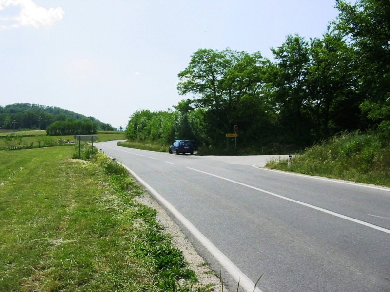
Il tratto di strada immediatamente successivo alla pietra miliare del km 7, dove i veicoli del “San Giusto” vennero presi sotto tiro dagli jugoslavi (appostati sulle colline visibili sullo sfondo) e costretti a ripiegare con la perdita di due L3 (uno dei quali saltato su una mina), il 24 aprile 1945 (foto presa verso est).
The stretch of road immediately after the km 7 milestone, where the “San Giusto” tanks were taken under fire from the Yugoslavs, who were on the hills visible in the background, and were forced to withdraw after losing two L3 tanks (one blown up on a mine) on 24th April 1945 (photos taken looking eastwards). |
|
|
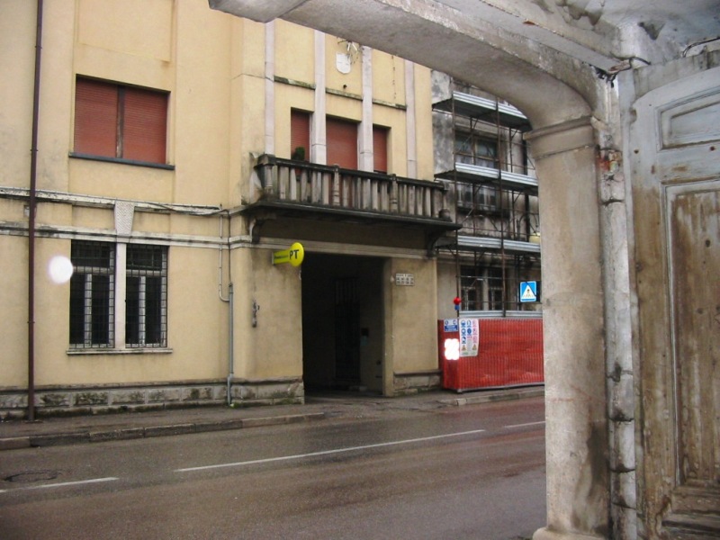
Pagina 97 (“then and now”): la Scuola Industriale di Mariano del Friuli, sede del Gruppo dall’aprile 1944.
Page 97 (“then and now”): the Scuola Industriale school in Mariano del Friuli, base of the Gruppo from April 1944. |
|
|
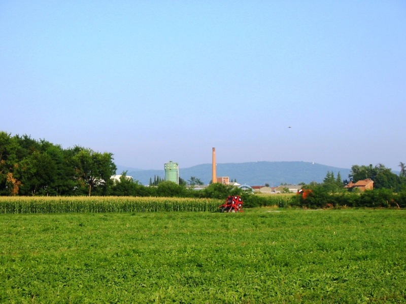
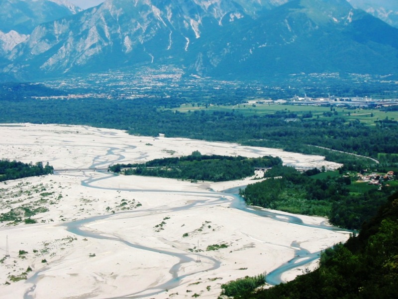
Pagina 104 (“then and now”): vista di Mariano del Friuli (con la ciminiera della ditta Montiglio) con le ultime propaggini del Carso sullo sfondo, presa sui terreni agricoli presso l’argine del fiume Versa (in direzione est).
Page 104 (“then and now”): a view of Mariano del Friuli (with the chimney of the Montiglio company) with the first heights of the Carso (Karst) plateau in the background, taken on the farmland near the dam of the Versa River (photos taken looking eastwards). |
|
|
Qui di seguito:
Pagine 105-112 (“then and now”): serie di foto riferite all’imboscata alla colonna del Gruppo “San Giusto” il 31 maggio 1944 presso Dobraule di Aidussina (oggi Dobravlje, in Slovenia, nella valle del fiume Vipacco, a est di Gorizia).
Below:
Pages 105-112 (“then and now”): series of photographs referring to the ambush to the Gruppo “San Giusto” motorised column on 31st May 1944 near Dobraule di Aidussina (now Dobravlje, in Slovenia, in the Vipacco River valley, east of Gorizia). |
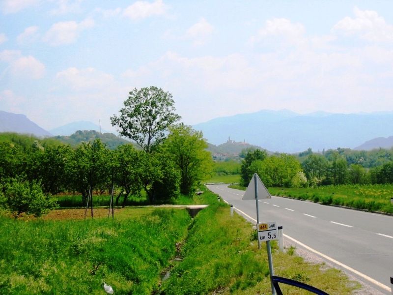
Pagina 105: il tratto di strada tra il paese di Dobraule (Dobravlje) e quello di Potocce (Potoce) dove venne attaccata la colonna; sullo sfondo, in cima ad una collina, si vede il paese di Santa Croce di Aidussina (Vipavski kriz), foto presa in direzione est verso Aidussina (Ajdovšcina).
Page 105: the stretch of road between the village of Dobraule (Dobravlje) and that of Potocce (Potoce) where the column was attacked; in the background, on the top of the hill, the village of Santa Croce di Aidussina (Vipavski kriz) can be seen (photo taken looking eastwards, towards Aidussina (Ajdovšcina)). |
|
|